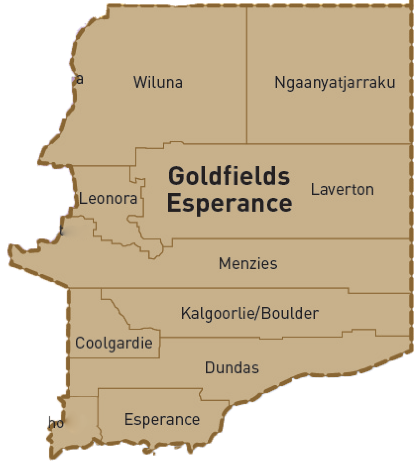
Kalgoorlie-Boulder District
The City of Kalgoorlie-Boulder is a vibrant regional hub spanning across an impressive 95,575 km², and embracing a community of over 30,000 residents. Nestled 600 kilometres east of Perth in the heart of the Goldfields-Esperance region, the dynamic city offers a tapestry of rich heritage, breathtaking outback landscapes, diverse recreational opportunities, and a thriving arts and culture scene.
The backbone of the local economy lies in the mining industry, which boasts a rich mineral base including gold, nickel, lithium, and iron ore. In addition to mining, emerging sectors such as renewable energy, tourism, mining education and innovation, mining processing facilities, and improved transport logistics have been identified as key areas of growth.
Kalgoorlie-Boulder thrives on its vibrant arts and culture scene, offering an array of activities and groups for enthusiasts. From active sports and recreation organisations to fantastic retail and hospitality venues, the city provides numerous engaging experiences. The City takes pride in managing contemporary community facilities, hosting first-class events, and making significant investments in community grants and sponsorships.
Suburbs and Localities
-
Binduli 6430
-
Boorara 6431
-
Boulder 6432
-
Broadwood 6430
-
Brown Hill 6431
-
Bulong 6431
-
Cundeelee 6434
-
Emu Flat 6431
-
Feysville 6431
-
Fimiston 6432
-
Forrest 6434
|
-
Hannans 6430
-
Kalgoorlie 6430
-
Kanowna 6431
-
Karkurla 6421
-
Kurnalpi 6431
-
Lakewood 6431
-
Lamington 6430
-
Mullingar 6430
-
Ora Banda 6431
-
Parkeston 6434
-
Piccadilly 6430
|
-
Rawlinna 6434
-
Somerville 6430
-
South Boulder 6432
-
South Kalgoorlie 6430
-
Trafalgar 6431
-
Victory Heights 6432
-
West Kalgoorlie 6430
-
Williamstown 6430
-
Yilkar 6430
-
Zanthus 6434
|
District Map